 Synthetic preview
KOMPSAT-3A · OPTICAL01 / 03
Legazpi–Daraga corridor
Low-cloud optical coverage across the Mayon–Legazpi urban and coastal corridor.
- Resolution
- 0.55 m
- Cloud
- 4.2%
- Product
- L1R
Demo data resetChecking the reset service.
Daily at 12:00 AM Asia/Manila (UTC+08:00). Next and last completion times are loading. Synthetic records are resettable; no external service or imagery delivery is connected. Do not enter sensitive information.
Earth observation for public service
Search Philippine satellite coverage by place, time, sensor, and resolution—then move a matching archive scene or new acquisition into a traceable request.
One click opens a preselected Legazpi archive scene with a ready-to-submit synthetic request. Choose a role or explore freely.
No production credentials, imagery, or downloads
Realistic synthetic catalogue and order states
Synthetic coverage map
© OpenStreetMap contributorsSelect Draw polygon to define a custom area.
Legazpi–Daraga corridor
18 Jul 2026 · 10:41 PHT · 0.55 m · PAN + RGB/NIR
12,486
Synthetic catalogue scenes
6
Representative satellite missions
2
Archive and new-tasking paths
100%
Non-production demo data
Public-service imagery infrastructure
Service Portal connects a Philippine earth-observation archive with the operational decisions required to release the right imagery to an authorized agency.
The referenced production system brings together area-of-interest search, optical and radar filters, archive selection, new satellite tasking, allocation-aware downloads, and a separate administration queue. This rebuild preserves that operating model while replacing every identity and record with synthetic content.
Pre- and post-event coverage for situational assessment.
Repeat observations for land, coast, crops, and habitat.
Current geographic evidence for public infrastructure work.
Sensor-specific scenes for reproducible remote-sensing studies.
Catalogue evidence
These authored previews are illustrative only. The metadata structure mirrors the decisions an analyst makes before requesting imagery.
Synthetic previewLow-cloud optical coverage across the Mayon–Legazpi urban and coastal corridor.
 Synthetic preview
All-weather radar acquisition suitable for flood extent and river-channel assessment.
 Synthetic preview
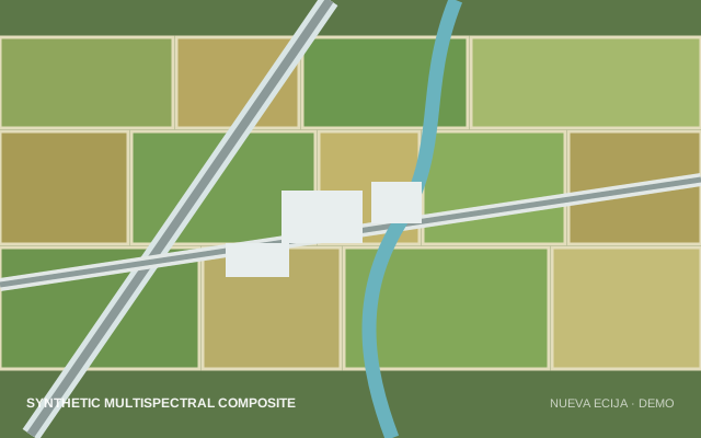
Regional multispectral scene for crop condition, irrigation, and land-cover analysis.
Search to release
The demo keeps the production-shaped handoffs visible so a reviewer can follow the user and operator sides of the same request.
Search a Philippine place or use the map to describe an area of interest in spatial and textual form.
Filter archive coverage by date, satellite, optical or SAR type, resolution, cloud, band, and polarization.
Select existing scenes or specify new tasking, then record the public-sector purpose and constraints.
Operations validates the request, updates status, prepares the package, and records allocation and expiry.
Ready to inspect the system?
Both demo identities are listed at sign-in. Create an order as the analyst, then move it through the queue as the administrator.
View demo credentials